
Tell your friends about this item:
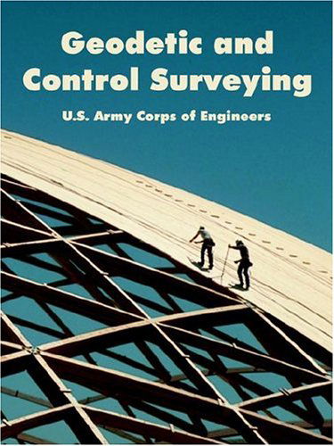
Geodetic and Control Surveying
U S Army Corps of Engineers
Ordered from remote warehouse
Our customers say:

Geodetic and Control Surveying
U S Army Corps of Engineers
This manual provides technical specifications and procedural guidance for control and geodetic surveying. It is intended for use by engineering, topographic, and construction surveyors performing control surveys for civil works, military construction, and environmental restoration projects. Procedural and quality control standards are defined to establish uniformity in control survey performance and contract administration. A geodetic control survey consists of establishing the horizontal and vertical positions of points for the control of a project or installation site, map, GIS, or study area. These surveys establish three dimensional point positions of fixed monuments, which then can provide the primary reference for subsequent engineering and construction projects. These control points also provide the basic framework from which detailed site plan topographic mapping, boundary demarcation, and construction alignment work can be performed. Precisely controlled monuments are also established to position marine construction vessels supporting the Corps navigation mission - e.g., the continuous positioning of dredges and survey boats. Geodetic control survey techniques are also used to effectively and efficiently monitor and evaluate external deformations in large structures, such as locks and dams. This manual covers the use of engineering surveying techniques for establishing and/or extending project construction control. Accuracy requirements, standards, measurement procedures, calibrations, horizontal and vertical datum transformations, data reduction and adjustment methods, and engineering surveying techniques are outlined. The primary focus of this manual is on conventional (i.e., non-GPS) horizontal and vertical survey techniques using traditional ground survey instruments--transits, theodolites, levels, electronic total stations, etc. Typically, conventional survey techniques include traverse, triangulation, trilateration, and differential leveling.
112 pages
| Media | Books Paperback Book (Book with soft cover and glued back) |
| Released | November 6, 2004 |
| ISBN13 | 9781410218353 |
| Publishers | University Press of the Pacific |
| Pages | 112 |
| Dimensions | 280 × 212 × 14 mm · 294 g |
| Language | English |
More by U S Army Corps of Engineers


See all of U S Army Corps of Engineers ( e.g. Paperback Book and Hardcover Book )